Seaford Infrastructure Asset Management Program
Location Seaford, DE
Client City of Seaford
Date of Completion 2018 - Ongoing
Services #Consulting
Sectors #Asset Management #Consulting #GIS & Drone Services #Government #Infrastructure #Stormwater Management #Trusted Advisor & On-Call Services #Wastewater Systems #Water Systems
GMB provided engineering services required for the development of an Asset Management Plan for the City of Seaford’s water and wastewater infrastructure, in accordance with grant applications filed with the Delaware Department of Natural Resources & Environmental Control (DNREC) and the Office of Drinking Water (ODW).
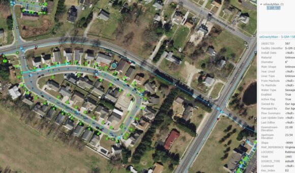
GMB worked closely with the Eastern Shore Regional GIS Cooperative (ESRGC) on the GIS portion of this effort. The water and sewer inventory was completed in 2018.
GMB’s services included:
- Asset Inventory and Condition Assessment
- GIS Mapping
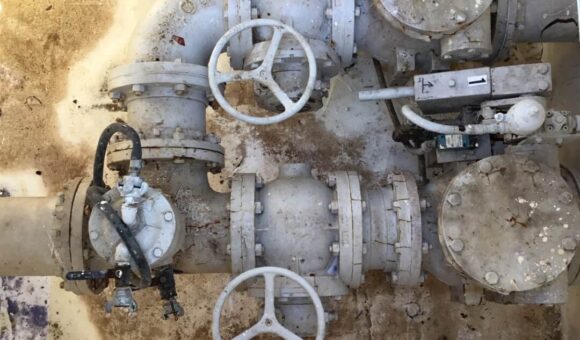
- Vertical Assets Inventory
- Water System
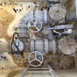
- Well / Water Pump Stations (5 total)
- Elevated Water Storage Tanks (4 total)
- Wastewater System
- Lift Stations (14 total)
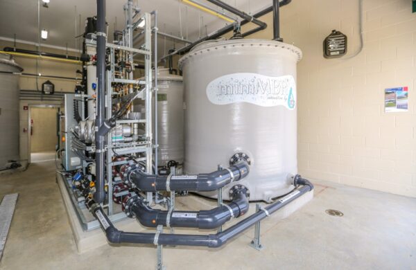
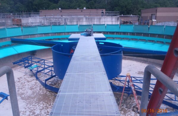
- Wastewater Treatment Facilities (14 process tanks, 8 pump sets)
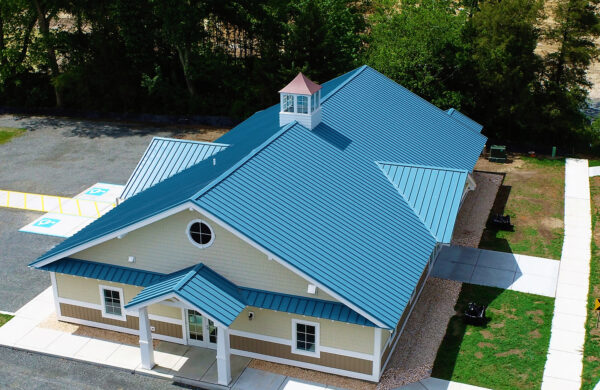
- Biosolids Composting Facilities
- System Inventory Worksheets
- Water System
- Level of Service Statements
- Asset Criticality Assessment
- Life Cycle Cost Analysis
- Long-Term Funding Plan
- Report Preparation / Public Presentation
GMB is currently assisting the City with the next phase of this effort, compliance with the Environmental Protection Agency’s (EPA) Stormwater Phase II Rule. This requires submitting a Notice of Intent (NOI) under Phase II MS4 General Permitting Program to receive an NPDES permit of authorization to discharge as an MS4 system. Prior to submitting this application, the City must take inventory and map the existing stormwater management infrastructure.
GMB’s services under this effort includes:
- Review city provided as-builts and/or construction drawings of existing stormwater infrastructure and confirm locations in the field.
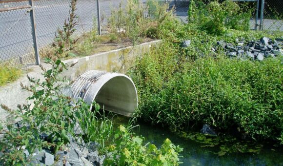
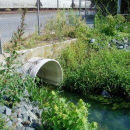
- Perform field investigation to track the existing stormwater infrastructure system consisting of outfalls, manholes, and catch basins for creating a master stormwater map and cataloguing the various pipe sizes and materials.
- Quantifying the amount of storm sewers, manholes, catch basins, outfalls, open ditches/tax ditches, retention basins, and detention basins.
- Identify potential sites for implementing future green stormwater management Best Management Practices (BMP’s).
- Provide map data in a shape file format to the State data plan.
- Provide a final report, which will include a project description, master stormwater map, and a summary of the stormwater management infrastructure properties observed in the field., i.e. pipe material, size, etc.

